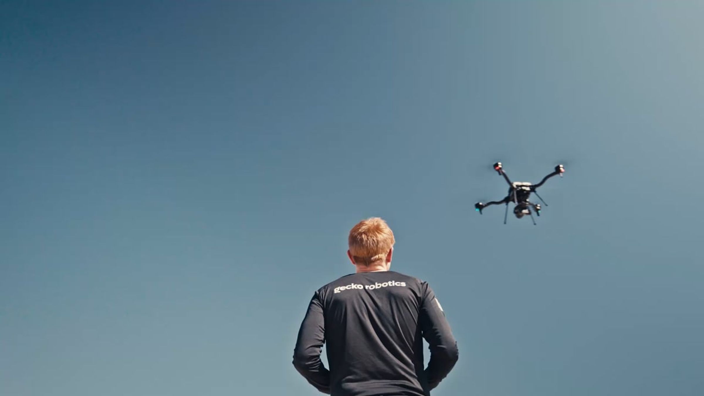
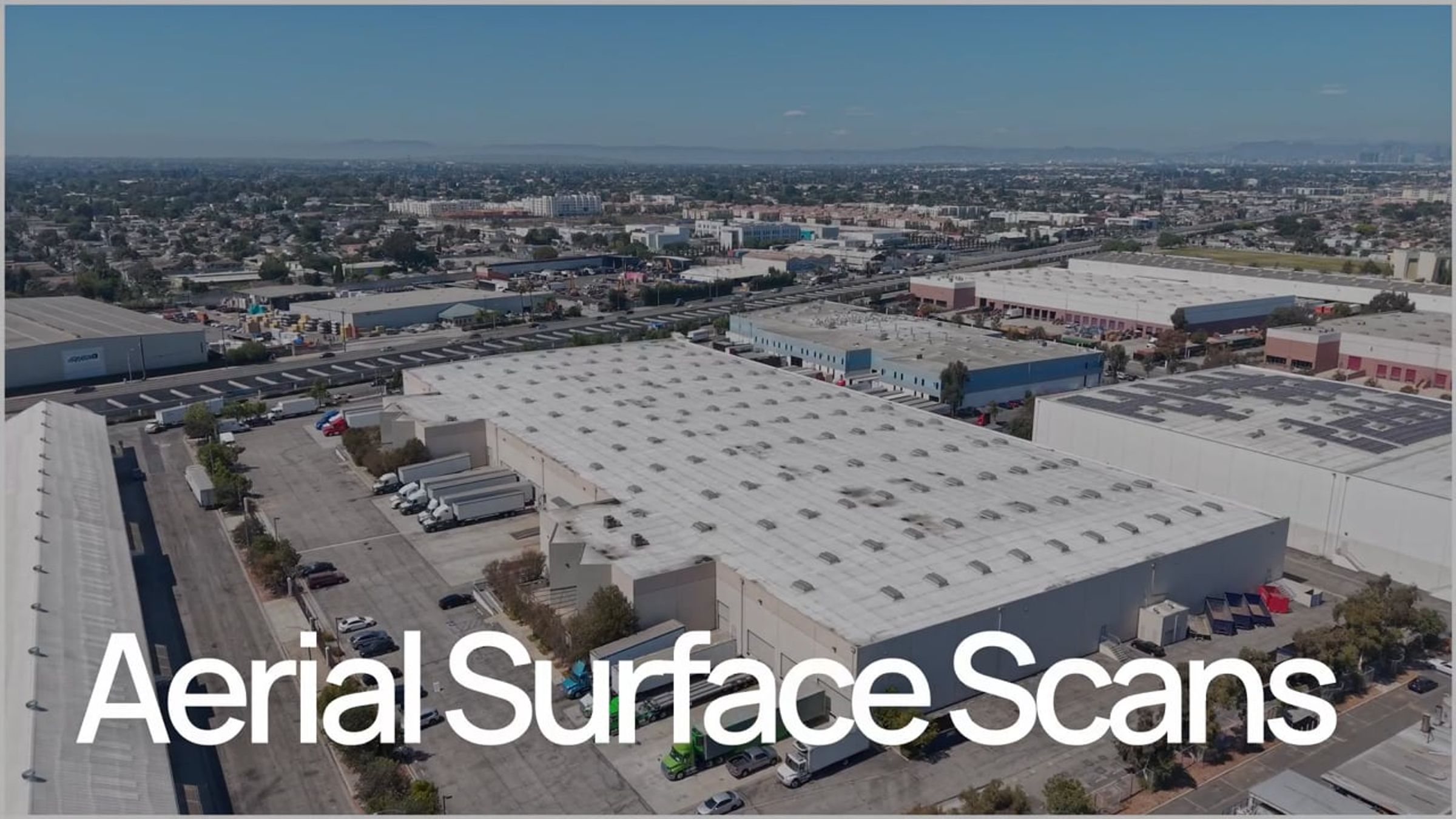
Aerial Surface Scans
Automated Drone Inspections
Cantilever® is our dual-use operating platform powered by AI and robotics (AI+R™). By integrating disparate production line data into a unified digital thread, Cantilever® accelerates decision-making at every stage of the inspection workflow – from scanning to digitizing to impactful reports.
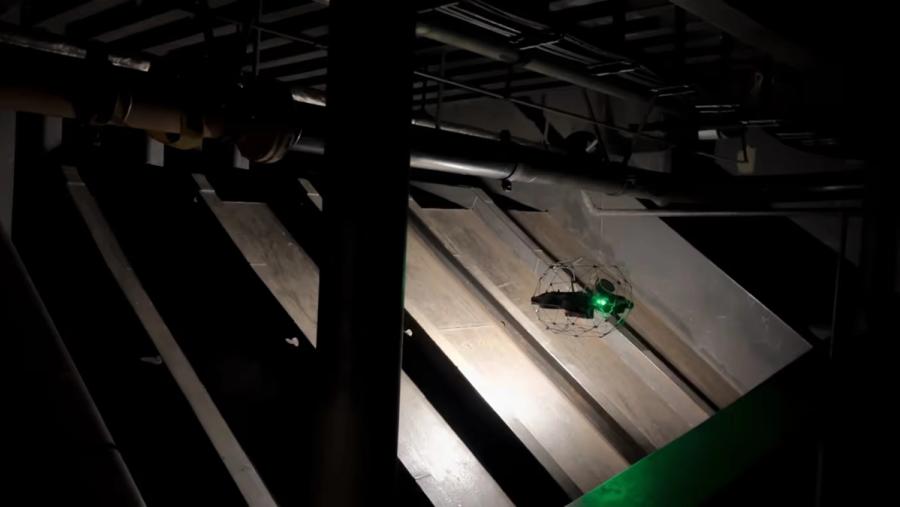
Safe. Fast. Accurate.
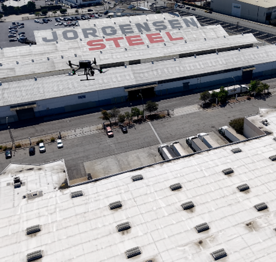
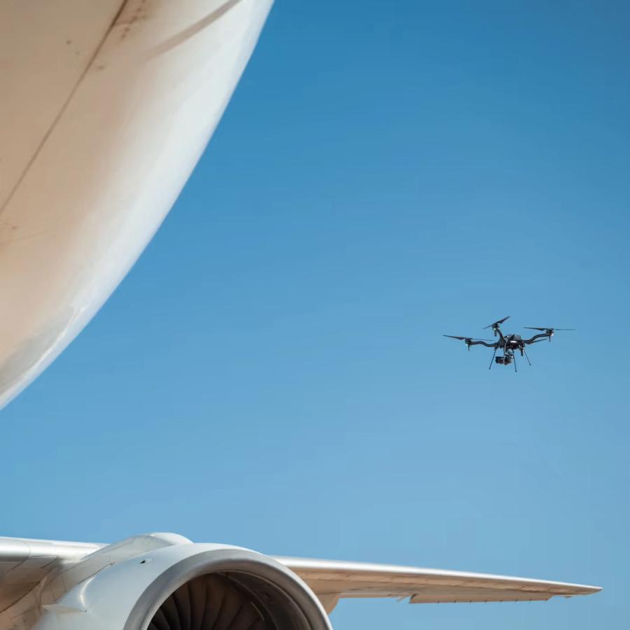
Flying over assets. Scaling across your organization. Drones and Cantilever® accelerate inspection time and digitizes data layers with intuitive, automated QA/QC workflows.
Not months. Not weeks. Not days. Full coverage data collection in hours.
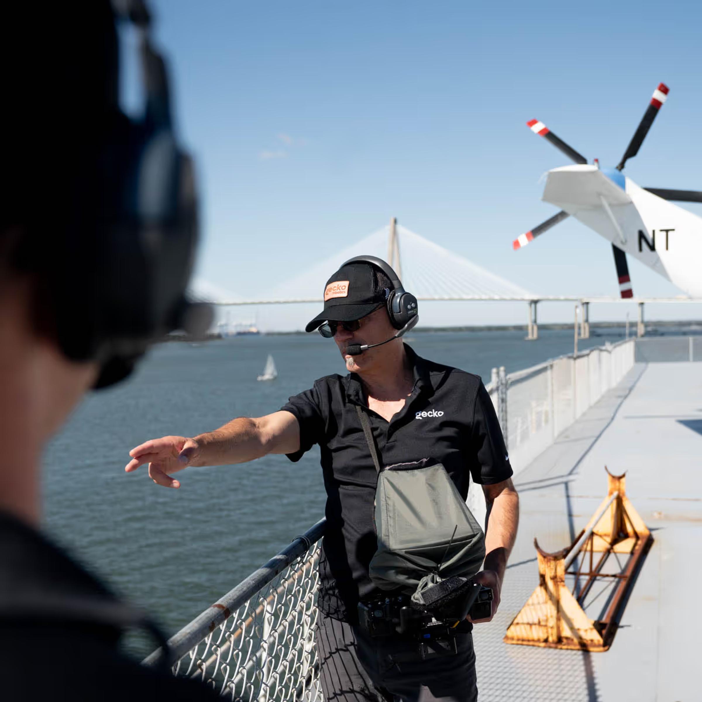
See the Whole Picture
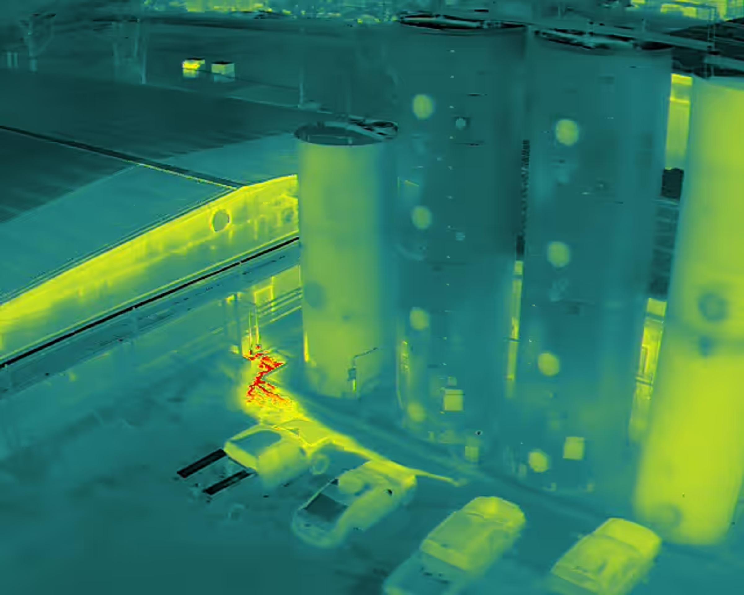
Data Layers: High Resolution Oversight
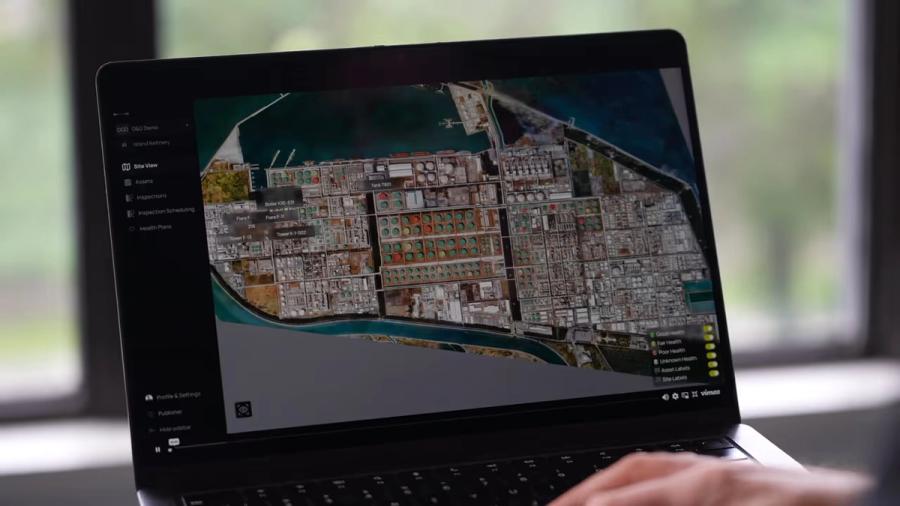
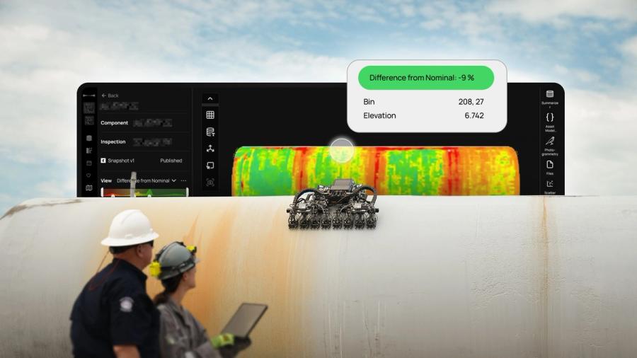
Move beyond surface-level metrics and unlock the insights needed to manage your critical assets from a single pane of glass. By layering high fidelity data with spatial precision, you eliminate blind spots and gain the context required to optimize asset performance in even the most complex environments.
Data that Defines the Future
CapEx: Strategic Capital Planning
Predictable budgets start with predictable assets. We turn complex data into actionable health scores and financial forecasts, allowing you to prioritize critical repairs across your entire portfolio. Move from reactive spending to a proactive strategy that ensures the longevity of your critical assets.





News & Resources
Transform Into a Facility of the Future
Please provide some brief information and our team will reach out to continue the conversation